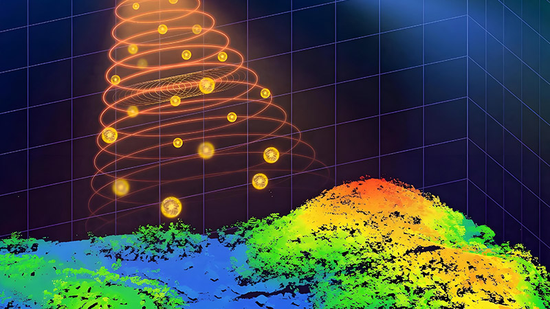
LiDAR (Light Detection and Ranging) technology has become a critical tool in environmental monitoring, providing detailed, three-dimensional data that enhances the management and conservation of ecosystems. By offering precise information on vegetation structure, terrain, and environmental changes, LiDAR supports more effective monitoring, assessment, and management of natural resources. This article explores how LiDAR is advancing environmental monitoring and the benefits it brings to ecosystem management and conservation efforts.
Mapping Vegetation and Forest Structure
LiDAR technology is highly effective for mapping vegetation and forest structure, providing detailed data on canopy height, density, and biomass. Traditional methods of vegetation assessment can be limited by the density of the vegetation and the scale of the area being studied. LiDAR overcomes these challenges by penetrating through the canopy and capturing a detailed view of the underlying vegetation.
LiDAR data is used to create high-resolution digital elevation models (DEMs) and canopy models that reveal the vertical structure of forests and other vegetation types. For example, LiDAR can accurately measure canopy height, tree density, and biomass, providing valuable insights into forest health, growth, and productivity. This information supports better management of forest resources and helps in assessing the impact of environmental changes such as climate change and deforestation.
Monitoring Ecosystem Health and Dynamics
Monitoring ecosystem health and dynamics is essential for managing natural resources and addressing environmental issues. LiDAR technology supports this by providing detailed and accurate data on environmental conditions and changes over time.
LiDAR data can be used to monitor changes in vegetation cover, detect signs of stress or degradation, and assess the impact of environmental factors such as drought, pests, or diseases. For example, LiDAR surveys can reveal changes in forest canopy cover, identify areas affected by wildfires, and track the recovery of ecosystems following disturbances. This information helps environmental managers and conservationists implement targeted actions to protect and restore ecosystems.
Assessing and Managing Wetlands and Water Bodies
Wetlands and water bodies are critical components of many ecosystems, and LiDAR technology supports their assessment and management by providing detailed data on topography, hydrology, and vegetation.
LiDAR data can be used to map wetland boundaries, assess water levels, and monitor changes in wetland vegetation. For example, LiDAR surveys can create accurate maps of wetland extent, identify areas prone to flooding, and monitor changes in water levels over time. This information supports the management of wetland resources, helps in assessing the impact of land use changes, and informs conservation efforts to protect these valuable habitats.
Enhancing Habitat Mapping and Species Conservation
Habitat mapping and species conservation benefit from LiDAR technology by providing detailed data on habitat features and spatial distribution. Accurate habitat mapping is essential for understanding the needs of wildlife species and implementing effective conservation strategies.
LiDAR data can be used to map and analyze habitat features such as tree canopy cover, forest structure, and vegetation types. This information helps in identifying critical habitats for species, assessing habitat quality, and planning conservation efforts. For example, LiDAR surveys can reveal the distribution of key habitat features, such as nesting sites or feeding areas, which are important for species conservation.
Supporting Land Use and Environmental Planning
Land use and environmental planning rely on accurate data to support sustainable development and resource management. LiDAR technology provides detailed information that enhances planning and decision-making processes.
LiDAR data can be used to assess land cover, monitor changes in land use, and support the development of environmental management plans. For example, LiDAR surveys can create detailed maps of land cover types, such as forests, grasslands, and urban areas, which are essential for planning and managing land use. This information helps in balancing development needs with environmental protection and supports the implementation of sustainable practices.
Detecting and Managing Natural Disasters
LiDAR technology enhances the detection and management of natural disasters by providing detailed data on terrain, vegetation, and infrastructure. This information is valuable for planning and responding to disaster events.
LiDAR data can be used to create accurate maps of areas affected by natural disasters such as floods, landslides, and wildfires. For example, LiDAR surveys can provide detailed information on flood extent, identify areas at risk of landslides, and assess the impact of wildfires on vegetation. This information supports disaster response efforts, helps in planning mitigation measures, and aids in recovery and reconstruction.
Improving Research and Policy Making
Environmental research and policy making benefit from LiDAR technology by providing accurate and comprehensive data on ecosystems and environmental conditions. This information supports evidence-based decision-making and the development of effective environmental policies.
LiDAR data can be used to study trends in environmental change, assess the impact of land use policies, and support research on ecosystem dynamics. For example, LiDAR surveys can provide data on changes in forest cover, vegetation patterns, and habitat fragmentation, helping policymakers understand the implications of their decisions and develop strategies for environmental protection.
Future Trends and Innovations
The future of LiDAR in environmental monitoring is promising, with ongoing advancements driving new applications and capabilities. Innovations include the development of more advanced LiDAR sensors, integration with other remote sensing technologies, and improvements in data processing and analysis.
For example, the integration of LiDAR with multispectral and hyperspectral imaging can provide a more comprehensive view of ecosystems, combining information on vegetation structure with insights into species composition and health. Advances in data analytics and machine learning will enhance the ability to interpret LiDAR data, providing deeper insights into environmental conditions and supporting more effective management and conservation efforts.
Conclusion
LiDAR technology has transformed environmental monitoring by providing detailed, high-resolution data that supports the management and conservation of ecosystems. From mapping vegetation and assessing wetland conditions to monitoring habitat quality and detecting natural disasters, LiDAR offers significant benefits for modern environmental management. As technology continues to evolve, LiDAR will play an increasingly important role in advancing ecosystem conservation and supporting sustainable resource management.


