Introduction
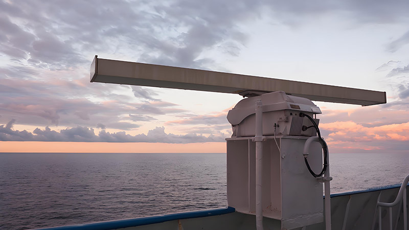
Marine research is crucial for understanding the complex dynamics of our oceans and coastal environments. Traditionally, this research has relied on a combination of sonar, satellite imagery, and manual sampling. However, these methods often face limitations in resolution and coverage, especially in shallow or turbid waters. Shipborne LiDAR technology has emerged as a transformative tool, offering high-resolution, real-time data that is revolutionizing marine research.
LiDAR in Marine Habitat Mapping
One of the most significant applications of shipborne LiDAR in marine research is habitat mapping. LiDAR systems can produce detailed 3D maps of the seafloor, revealing the structure and composition of underwater habitats such as coral reefs, seagrass beds, and kelp forests. This data is invaluable for scientists studying the distribution of marine species, the health of ecosystems, and the impact of human activities on these habitats.
Case Study: Coral Reef Monitoring in the Caribbean
In the Caribbean, where coral reefs are under threat from climate change and pollution, shipborne LiDAR has been used to monitor reef health. The technology allows researchers to detect changes in reef structure and composition over time, providing early warnings of bleaching events or other signs of stress. The high-resolution data also helps in identifying areas that are most resilient to environmental changes, guiding conservation efforts and the establishment of marine protected areas.
Challenges and Solutions
While LiDAR offers numerous advantages, it also faces challenges in marine research, particularly in turbid or deep waters where laser penetration is limited. Researchers have addressed these challenges by combining LiDAR with other remote sensing technologies, such as sonar and satellite imagery, to create more comprehensive datasets. Additionally, advances in LiDAR technology, including the development of multi-wavelength systems, are helping to extend the depth and clarity of underwater surveys.
Conclusion
Shipborne LiDAR technology is rapidly becoming an essential tool in marine research, providing scientists with the high-resolution data needed to understand and protect our oceans. As this technology continues to evolve, it will play an increasingly important role in addressing the environmental challenges facing marine ecosystems, from climate change to habitat degradation. The ability to map and monitor these environments in unprecedented detail will be key to ensuring the sustainability of our oceans for future generations.


