Introduction
The development of offshore wind farms is a key component of the transition to renewable energy. However, the success of these projects depends on careful site selection and environmental assessment. Shipborne LiDAR technology is playing a crucial role in this process, providing detailed data that helps developers identify the best locations for wind turbines and assess potential environmental impacts.
The Role of LiDAR in Offshore Wind Development
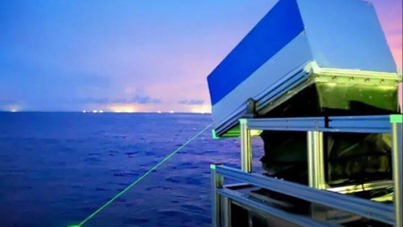
Shipborne LiDAR systems are used to survey potential wind farm sites, mapping the seafloor, assessing seabed conditions, and identifying any underwater obstacles. The data collected is essential for determining the most suitable locations for turbines, ensuring that they are placed in areas with optimal wind conditions and minimal environmental impact. LiDAR can also be used to monitor marine traffic patterns, which is crucial for planning safety zones around wind farms.
Case Study: North Sea Wind Farm Site Selection
In the North Sea, where offshore wind farms are becoming increasingly common, shipborne LiDAR has been used to survey vast areas of the seafloor. The data collected has helped developers identify suitable sites that balance high wind potential with minimal environmental and navigational risks. By providing detailed, high-resolution data, LiDAR has enabled more precise and informed decision-making, leading to the successful deployment of several large-scale wind farms.
Conclusion
As the demand for renewable energy continues to grow, the need for accurate and detailed environmental data becomes increasingly important. Shipborne LiDAR offers a powerful solution for offshore wind farm development, helping to ensure that these projects are successful, sustainable, and environmentally responsible.


