Introduction
The monitoring of infrastructure, such as bridges, roads, and buildings, is essential for ensuring public safety and maintaining the integrity of these structures. Traditional monitoring methods can be labor-intensive and may not always provide the necessary level of detail. LiDAR drones offer a modern solution, providing precise and efficient infrastructure monitoring capabilities. This article examines the role of LiDAR drones in infrastructure monitoring.
The Role of LiDAR in Infrastructure Monitoring
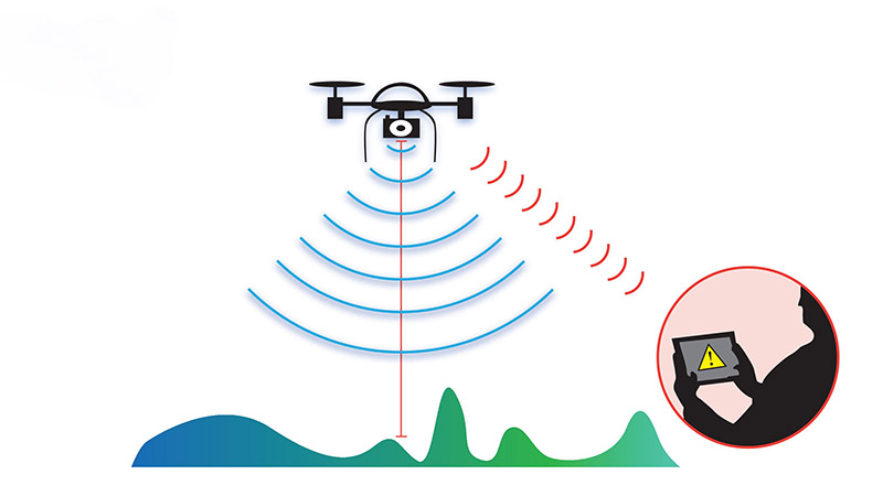
LiDAR drones are used to monitor various types of infrastructure by capturing detailed 3D data that can reveal structural weaknesses, wear, and other potential issues. This data is critical for preventative maintenance, allowing engineers to address problems before they lead to costly repairs or safety hazards.
Advantages of Drones in Infrastructure Monitoring
Drones provide several key advantages in infrastructure monitoring, including the ability to quickly deploy to a site, capture data from hard-to-reach areas, and perform inspections without interrupting the operation of the infrastructure. LiDAR-equipped drones, in particular, offer high-resolution data that is crucial for detecting minor but critical changes in structures.
Technical Challenges and Future Developments
While LiDAR drones offer many benefits, they also face challenges, such as the need for specialized expertise to operate the equipment and interpret the data. However, ongoing advancements in drone technology, data processing, and AI-driven analysis are expected to make these systems more accessible and user-friendly in the future.
Case Study
A recent infrastructure monitoring project used a LiDAR drone to inspect a series of aging bridges. The drone was able to capture detailed 3D models of the bridge structures, revealing areas of corrosion and wear that were not visible during traditional inspections. This data was used to prioritize maintenance efforts and extend the lifespan of the bridges.


