LIDAR (Light Detection and Ranging) is a sophisticated technology that uses laser light to measure distances and create detailed, three-dimensional representations of objects and environments. This technology is increasingly used in various fields, including autonomous vehicles, environmental monitoring, and maritime navigation. Understanding LIDAR’s principles and applications can reveal its significance and potential benefits.
1. How LIDAR Works
LIDAR systems operate by emitting laser pulses towards a target and measuring the time it takes for the pulses to return to the sensor. The system calculates the distance to the target based on the time delay and the speed of light. By rapidly sending out thousands of pulses, LIDAR can create a dense, high-resolution 3D map of the environment.
Key Components:
- Laser Emitter: Generates laser pulses.
- Sensor/Receiver: Detects the reflected pulses.
- Processor: Analyzes the time delay and converts it into distance data.
2. Applications of LIDAR
Autonomous Vehicles:
- Function: LIDAR helps self-driving cars detect obstacles, map roads, and navigate safely by providing detailed 3D images of the surroundings.
- Benefit: Enhances navigation accuracy and safety by allowing vehicles to “see” and interpret their environment in real time.
Environmental Monitoring:
- Function: Used to monitor vegetation, track changes in landscapes, and assess environmental conditions.
- Benefit: Provides precise data for managing forests, wetlands, and other natural resources.
Mapping and Surveying:
- Function: Creates detailed topographic maps and models of terrains for construction, urban planning, and geological studies.
- Benefit: Improves accuracy and efficiency in mapping projects.
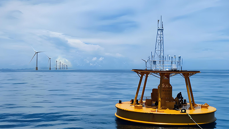
Maritime Navigation:
- Function: Measures sea surface heights, detects underwater obstacles, and supports navigational safety.
- Benefit: Enhances maritime safety by providing precise data for navigation and obstacle detection.
3. Advantages of LIDAR
- High Resolution: Offers detailed, accurate 3D data.
- Speed: Captures large amounts of data quickly.
- Versatility: Useful in various applications, from autonomous vehicles to environmental monitoring.
4. Challenges and Limitations
- Cost: High-quality LIDAR systems can be expensive.
- Weather Sensitivity: Performance can be affected by adverse weather conditions like fog or heavy rain.
- Data Complexity: Requires sophisticated processing to interpret and analyze the data accurately.
5. Conclusion
LIDAR technology has revolutionized how we capture and interpret spatial information, offering unprecedented accuracy and detail. Its applications span various fields, demonstrating its versatility and potential. As technology advances, LIDAR’s capabilities will continue to expand, providing even more valuable insights and enhancing its role in diverse industries.


