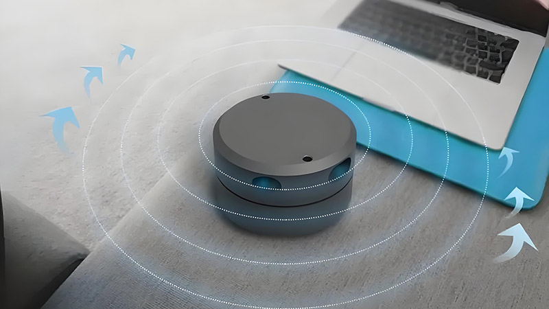
LiDAR (Light Detection and Ranging) is a powerful technology that uses laser beams to measure distances and create precise 3D maps. It works by emitting laser pulses that bounce off objects and return to the sensor. By measuring the time it takes for the light to return, known as the “time of flight” (ToF), LiDAR calculates the distance to objects with remarkable accuracy.
The Basics of LiDAR
The principle behind LiDAR is simple: a laser emitter sends out pulses of light, which hit an object and reflect back to a detector. By calculating the time it takes for the light to return and knowing the speed of light, the system determines the distance. This process is repeated rapidly, allowing the scanner to generate a detailed 3D point cloud of the environment.
The formula used for this distance calculation is:
Distance=(Time of Flight)×(Speed of Light)2Distance = \frac{(Time \ of \ Flight) \times (Speed \ of \ Light)}{2}Distance=2(Time of Flight)×(Speed of Light)
Each laser pulse represents a data point in the 3D space, and millions of these points form a precise map of the surroundings.
Key Components of LiDAR
A typical LiDAR system consists of:
- Laser Emitter: It generates the laser pulses, usually in the infrared spectrum.
- Detector: This detects the reflected laser light after it hits an object.
- GPS and IMU: These components help track the scanner’s position and orientation, essential for accurate data collection in mobile or aerial systems.
LiDAR Data: Point Clouds
LiDAR produces 3D data in the form of point clouds. Each point represents a laser pulse and provides (X, Y, Z) coordinates in space. The density of the points affects the resolution of the scan, with higher density creating more detailed representations.
Point clouds are crucial for applications that require detailed spatial information, such as mapping and navigation.
Applications of LiDAR
LiDAR has numerous applications, including:
Autonomous Vehicles: LiDAR provides real-time 3D maps, allowing self-driving cars to detect obstacles, navigate safely, and avoid collisions.
Urban Planning: LiDAR generates 3D models of cities and infrastructure, aiding planners in visualizing future developments.
Environmental Monitoring: It helps in forest mapping, erosion monitoring, and managing natural resources by capturing landscape changes.
LiDAR’s ability to deliver high-precision data quickly has made it an essential tool in a wide range of industries.


