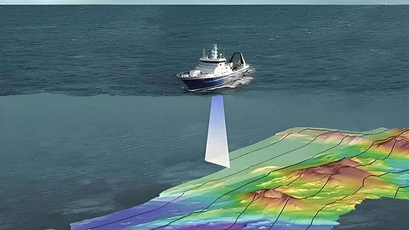
Shipborne LiDAR (Light Detection and Ranging) plays a crucial role in enhancing maritime rescue operations by improving efficiency and safety. Here are the primary applications of shipborne LiDAR in maritime rescue:

1. Real-Time Environmental Awareness
Shipborne LiDAR can quickly scan the surrounding environment to generate high-precision 3D maps. This is particularly important in maritime rescue, as it allows rescue teams to gain real-time insights into the scene, including sea conditions and the location of obstacles, enabling more accurate rescue planning.
2. Search and Location
LiDAR can detect the distance and shape of objects on the sea surface, aiding in the identification and location of distressed vessels or floating debris. Compared to traditional radar, LiDAR offers higher resolution and can more accurately identify and differentiate smaller targets, such as lifeboats or individual persons in the water.
3. Operation in Low Visibility Conditions
During nighttime or adverse weather conditions, visual capabilities are limited, and traditional optical devices may become ineffective. LiDAR, however, is not affected by light conditions and can continue to operate in low visibility, ensuring continuous and effective rescue operations.
4. Precise Navigation and Obstacle Avoidance
In complex sea conditions, LiDAR assists rescue vessels in precise navigation and collision avoidance with floating debris or other obstacles. It also supports autonomous navigation for unmanned rescue devices like drones or unmanned boats, reducing the risk to personnel.
5. Data Recording and Analysis
Shipborne LiDAR records data throughout the rescue operation, which can be used for real-time decision-making as well as post-operation analysis. This data helps in reviewing the rescue process, learning from experiences, and optimizing future rescue strategies.
6. Coordinated Operations
In large-scale maritime rescue operations, multiple rescue platforms can share environmental data provided by LiDAR, facilitating coordinated efforts. The precise maps and target information generated by LiDAR can be shared with command centers and other rescue vessels via networks, ensuring unified and efficient operations.
Conclusion
Shipborne LiDAR provides robust technical support for maritime rescue, enhancing search and location precision and overall safety of rescue operations. As LiDAR technology continues to advance and become more widespread, its applications in maritime rescue are expected to expand and deepen.


