Introduction
As infrastructure ages, the need for effective monitoring solutions becomes increasingly critical. LiDAR (Light Detection and Ranging) technology, when combined with drones, offers a cutting-edge solution for monitoring the condition of various infrastructure elements. This article explores the future of infrastructure monitoring with LiDAR-equipped drones and their potential to revolutionize maintenance practices.
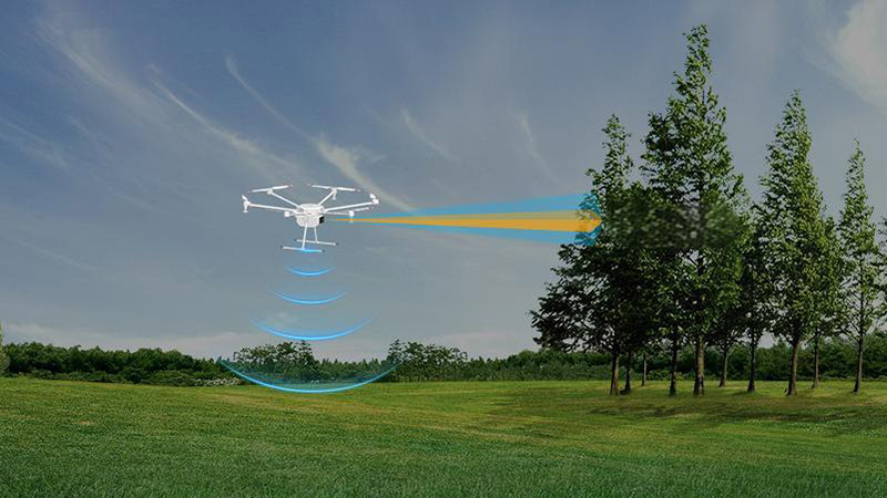
Why LiDAR Drones are Ideal for Infrastructure Monitoring
LiDAR drones are ideal for infrastructure monitoring due to their ability to capture precise and detailed 3D data from hard-to-reach areas. They can quickly scan large structures such as bridges, dams, and power lines, providing high-resolution models that highlight even the smallest signs of wear or damage. This level of detail is crucial for identifying potential problems before they escalate into costly repairs or safety hazards.
Applications in Different Sectors
In the transportation sector, LiDAR drones are used to monitor the condition of roads, bridges, and tunnels. They can detect cracks, deformations, and other structural issues that are not easily visible to the naked eye. In the energy sector, LiDAR drones help in inspecting power lines, wind turbines, and solar farms, ensuring that these critical infrastructures operate efficiently and safely. The ability to perform regular, detailed inspections with minimal disruption makes LiDAR drones invaluable in these industries.
Challenges and Innovations in LiDAR Drone Technology
While the benefits of LiDAR drones are clear, there are challenges that need to be addressed, such as the high cost of equipment, the need for skilled operators, and data processing complexities. However, ongoing innovations in drone technology, such as AI-driven data analysis and autonomous flight capabilities, are making LiDAR drones more accessible and easier to use. These advancements will likely lead to wider adoption and new applications in infrastructure monitoring.
Case Study: Bridge Inspection with LiDAR Drones
A bridge inspection project utilized LiDAR-equipped drones to assess the structural integrity of a series of aging bridges. The drones provided detailed 3D scans that revealed areas of corrosion and stress that were not detectable through traditional inspection methods. The data collected helped engineers prioritize maintenance efforts, ultimately extending the lifespan of the bridges and ensuring public safety.
Conclusion
The future of infrastructure monitoring lies in the integration of LiDAR technology with drone platforms. These systems offer unparalleled precision, efficiency, and safety, making them an essential tool for maintaining and managing critical infrastructure. As drone and LiDAR technologies continue to evolve, their role in infrastructure monitoring is set to expand, leading to more effective and proactive maintenance strategies.


