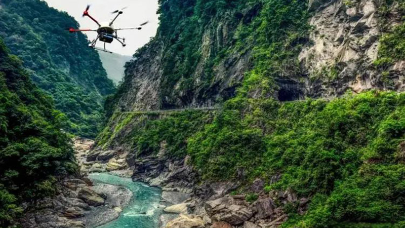
Disasters, whether natural or man-made, present significant challenges for response and recovery efforts. 3D LiDAR technology has emerged as a crucial tool in disaster management, providing detailed spatial data that enhances the effectiveness of relief operations and aids in recovery efforts.

Rapid Damage Assessment
One of the primary applications of 3D LiDAR in disaster response is rapid damage assessment. After a disaster, such as an earthquake, flood, or hurricane, LiDAR-equipped drones or ground-based scanners can quickly survey affected areas, capturing high-resolution 3D models of the damage. This data helps emergency responders and planners assess the extent of destruction, prioritize areas for immediate assistance, and allocate resources more effectively.
For instance, following a major earthquake, LiDAR data can reveal the extent of structural damage to buildings and infrastructure, aiding in the identification of areas that require urgent repair or evacuation.
Mapping and Analyzing Affected Areas
3D LiDAR provides detailed topographical maps that are essential for understanding the impact of disasters on landscapes and infrastructure. By creating accurate 3D models of affected areas, LiDAR helps in analyzing changes in terrain, such as landslides, erosion, or flooding. This information is critical for planning recovery efforts and mitigating future risks.
In flood-prone areas, LiDAR data can be used to map flood extents and analyze the effects on land use and infrastructure. This helps in designing flood management systems and improving resilience against future flooding events.
Supporting Search and Rescue Operations
During search and rescue operations, 3D LiDAR can enhance the efficiency and safety of teams working in disaster-stricken areas. LiDAR data provides detailed information about the terrain and obstacles, enabling rescue teams to navigate challenging environments more effectively.
For example, in the aftermath of a landslide, LiDAR data can help identify safe paths for rescue teams and locate trapped individuals or damaged structures. The detailed 3D models also aid in planning evacuation routes and coordinating rescue efforts.
Assisting in Recovery and Reconstruction
In the recovery phase, 3D LiDAR plays a role in assessing the long-term impact of disasters and planning reconstruction efforts. LiDAR data helps in evaluating the stability of damaged structures, designing new infrastructure, and monitoring the progress of rebuilding projects.
For example, after a hurricane, LiDAR can be used to assess the condition of roads, bridges, and utilities, guiding repair and reconstruction efforts. The technology also supports the development of updated risk models and strategies for disaster preparedness and mitigation.
Conclusion
3D LiDAR technology is transforming disaster response and recovery by providing detailed, accurate spatial data that enhances damage assessment, mapping, search and rescue operations, and reconstruction efforts. Its ability to quickly capture and analyze data in disaster-stricken areas improves the efficiency and effectiveness of relief operations, helping communities recover and rebuild more resiliently.